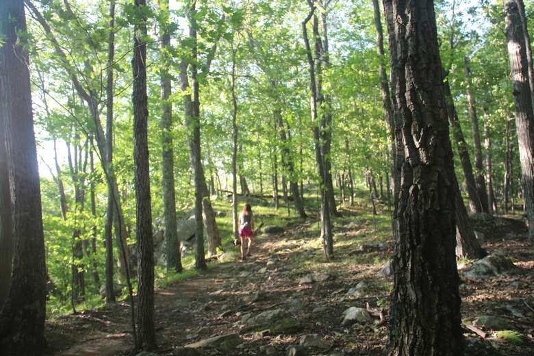
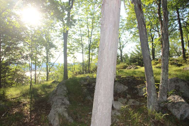
A relatively short hike up the east side to a spot with great views of Lake George. The hike up takes 20-30 minutes. It is not strenuous, although there is 5 minutes of uphill climbing. This is a great easy hike for younger kids due to wide path
A short hike with great views of Lake George
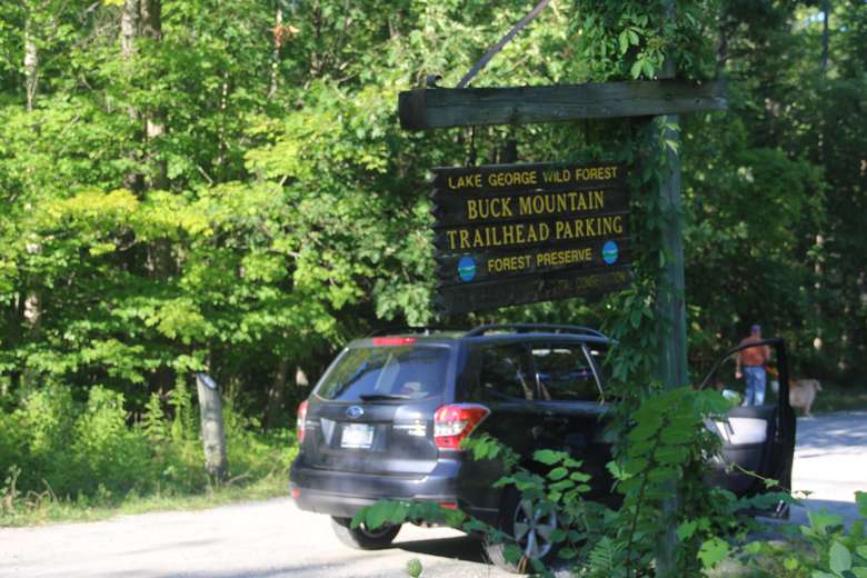
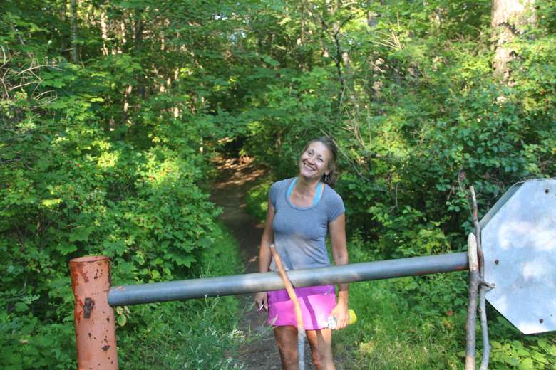
The hike starts at the Buck Mountain Trailhead. It is not marked with trail markers.
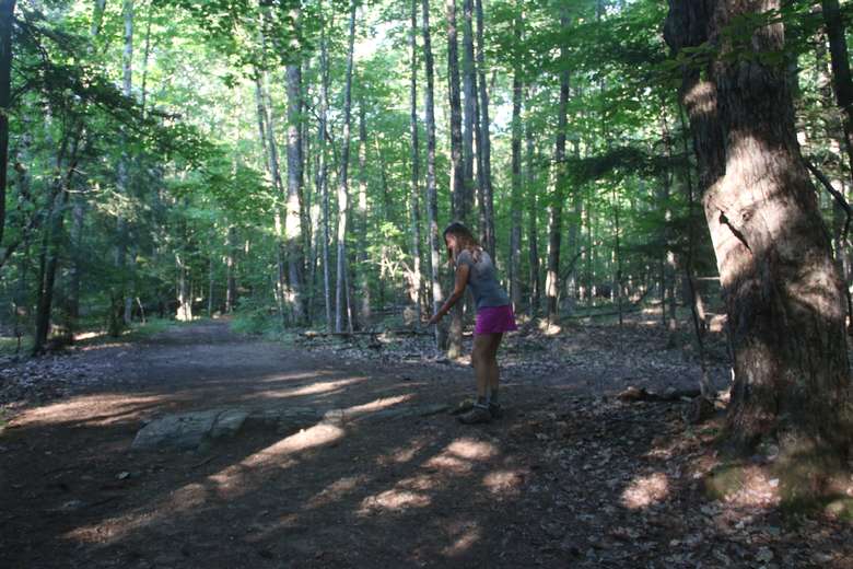
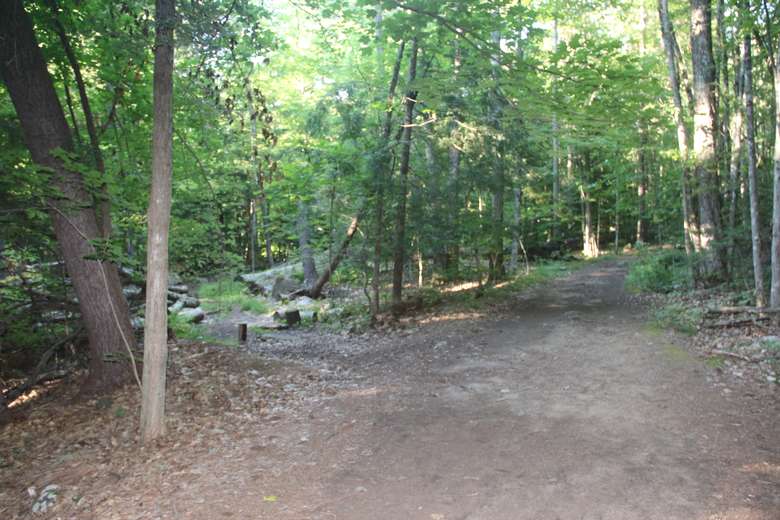
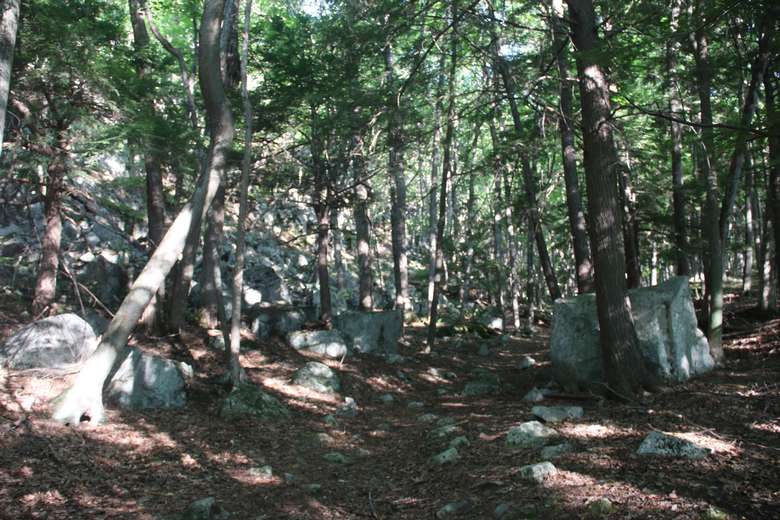
A little way up the trail -- just a few hundred yards in, about 30-60 seconds -- you will see where the trail goes straight, but there is a horse path going off to the left, and an unmarked trail going off to the right. There is a large stone in the path right at this point, as shown in the photos. This is where you turn to the right. If you make this turn, you are golden.
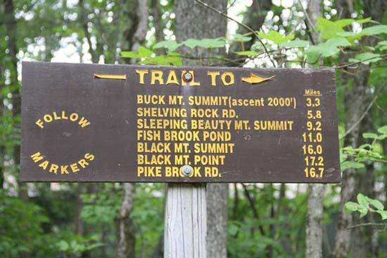
After the first turn, you just follow the well-packed dirt road to the ledge. The ledge has a large rock ideal for a snack and a quick rest. Note: This hike is not listed on the signs nor is it marked, but is about 1/4 mile up the trail to Buck Mountain.
Where to find Novice Rock Climbing in Lake George? ... at Stewart's Ledge
Before you reach the top you will see the granite cliffs -- vertical cliffs that are a popular destination for novice rock climbers. Interested in learning how to climb? You can find rock climbing outfitters in the area who will train you, outfit you and take you on a guided trip.
Where is the Stewart's Ledge Geocache?
The trail to Stewart's Ledge also has a geocache. What is geocaching? You hunt for a hidden object by following GPS coordinates, record your find in a log, and track your finds via the geocache app or website. Many geocaches provide 'treasures' -- you take an object from the geocache and replace it with your own treasure for the next treasure hunter. This is especially fun when hiking with children. Treasures can be decks of cards, hot wheels, rubics cubes, Magic cards, you name it. Note: If you leave something that isn't waterproof, it's always best to place it within something that is.
Geocaching info: Directions - from parking area, start on the main trail, and take the second right at N43 30.609 W73 37.691; then find a left turn at N43 30.505 W73 37.692. From there, follow the trail/old road gradually uphill, and circle around to the view points. GPS signal was erratic when we put it out. For a loop hike, you can follow the fainter trail to the north which leads down to the main Buck Mountain trail, then turn left to get back to the parking area. NOTE: Always check the geocaching app to confirm that this cache site is still maintained, as geocaches are sometimes removed for various reasons.
How to find driving directions to Stewart's Ledge Lake George?
Directions: Use this address in your GPS - 1750 Pilot Knob Road, Fort Ann, NY (43.509238,-73.631144). OR: 3.4 miles north of the intersection of Pilot Knob Road and Ridge Road, just south of the Pilot Knob Firehouse there will be a parking lot on the right hand (east) side of the road.This is a popular rock climbing destination on the east side of Lake George.
To get there from the Adirondack Northway I-87, take exit 20 to the outlet malls, turn right on 149, continue east until you see Ridge Road, Take a left on Ridge Road and follow that north until you see Lake George - bear right onto Pilot Knob Road until you hit the parking lot south of the Pilot Knob Firehouse on the right hand side.

