The Chester Challenge: A Family-Friendly Adirondack Hiking Challenge
Designed by the Town of Chester in Warren County, the Chester Challenge encourages hikers to explore the town's expansive regional trail network. This is more of a family-friendly hiking challenge than others you may come across, and it was created to appeal to hikers of all skill levels. To complete this hiking challenge and receive a commemorative pin, you need to complete 6 out of 11 designated trails.
Please note, Meade/Beckman, Kipp, Dynamite/Fish, and Catamount/Green are typically closed from mid-October to mid-December.
Hiking Challenge to Promote Health
The Chester Challenge was funded by state grant money awarded to the Town of Chester by Glens Falls Hospital's Health Promotion Center. Not only does the challenge help to promote physical fitness and wellness, but it's a great way to explore some of the lesser known trails in the Town of Chester area.
Easy or More Challenging - You Decide
There are a few different options for completing the challenge. You can hike the longest and most challenging trails to receive a special pin, or you can choose the easiest and still get the pin. So challenge yourself to the max, or, this might be a good challenge to try as your first hiking challenge if you prefer to stick to the easier trails.
Basically, there are 11 trails in total and eight locations to choose from. Some of those locations include two trails, one easy and one hard. Once you hike any 6 of those trails, all you have to do is report in to the town clerk's office in Chester, the Dynamite Hill Visitor Center, or the Crossroads Store, and then you'll receive a commemorative challenge pin.
Or, if you complete the challenge in winter, from December 20th-March 20th, you will receive a special patch.
Get Your Chestertown Hike on at These 8 Locations
Notes:
- At Green Hill and Catamount Mountain, Chester Creek Trails, and Cougar Nature Trails, you can choose between taking a shorter route or a longer route.
- All of the distances/times below are round-trip.
1. Stewart Mountain
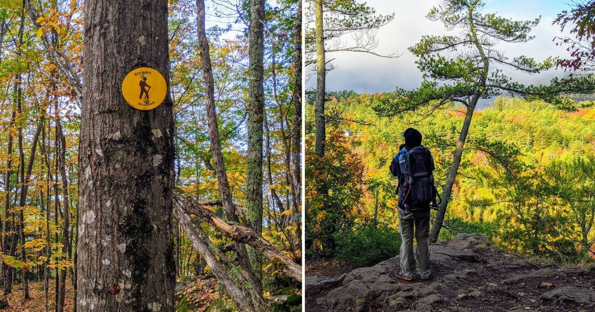
This easy dirt trail is a very short hike up to the top of Stewart Mountain. There is one steep section to be aware of on the way back down.
Distance/Time: .8 mile/45 minutes
Access/Parking: From Northway Exit 25, head west on Route 8 for about 4.4 miles. When you reach White Schoolhouse Road, follow it for 1 mile to reach the parking area and trailhead.
2. Cougar Nature Trails
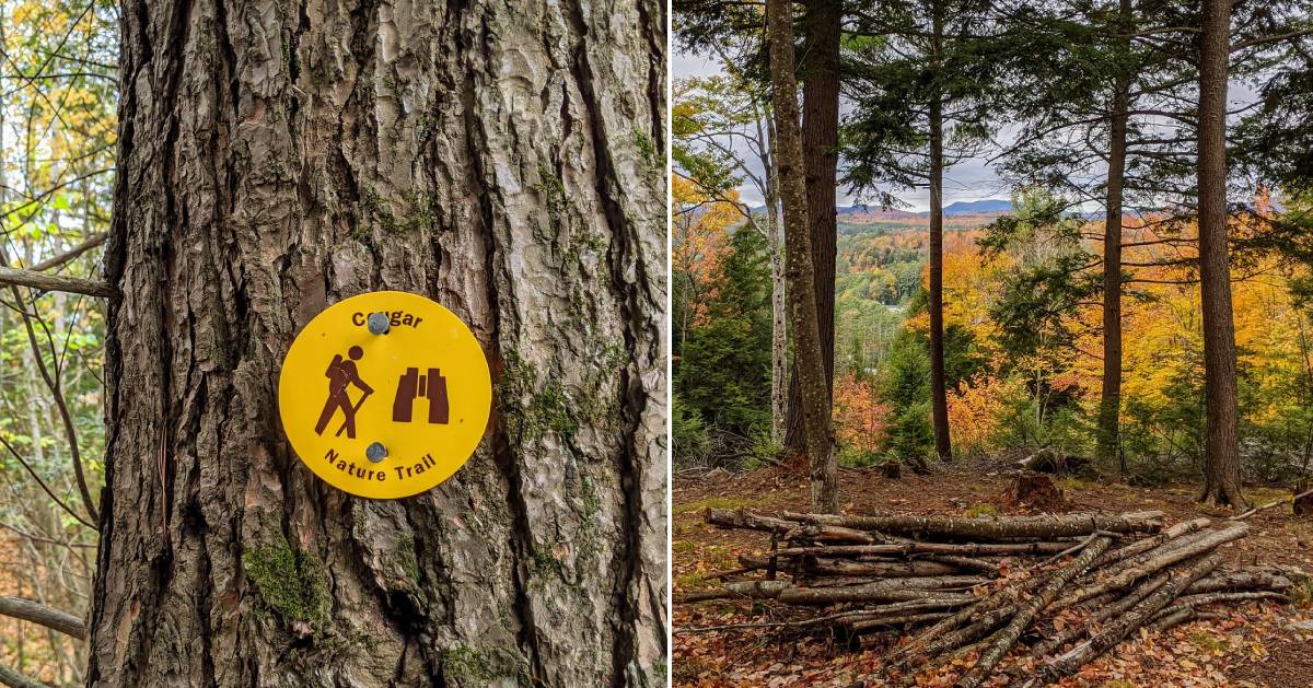
There are two ways you can tackle the trails at Cougar Hill. The first is a short, more direct trail up to the top of Cougar Hill, and the second is a long and gradual trail.
Distance/Time: .9 mile or 4.5 miles/1 to 2 hours
Access/Parking: You can park in the North Warren Central School parking lot by the tennis courts or visitor parking area (6110 NY-8, Chestertown, NY). Check in with the school guard during regular school hours. The trailhead will be a short walk away. Note: You cannot park at the visitor parking area before 8am.
3. Palmer Pond Trail
Note: Your navigation system may send you to Palmer Pond Trail via one of two private roads, and these are inaccessible to the public. According to the Town of Chester, the State will at some point have access to Palmer Pond Trail via Friends Lake Road but there is no timeframe on that.
This dirt trail is relatively flat and offers scenic views at several points. The trail itself is a fairly short loop around the 31-acre Palmer Pond, with a few optional side routes.
See a map of Palmer Pond Trail >>
Distance/Time: 1.5 miles/1 hour
Access/Parking: From Northway Exit 25, head west on Route 8 for about 6.7 miles. When you reach Palmer Pond Road, follow it to the end where there is a parking lot and trailhead.
4. Chester Creek Trails
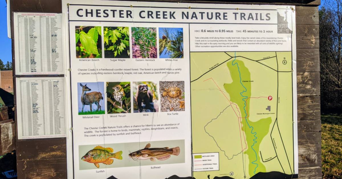
Take a walk around the wetlands areas of the Chester Creek Trails, located just behind the Town of Chester Municipal Center. The trails are mostly flat, and you'll see a lot of flora and fauna along the way! Walk all of the trails for a slightly longer hike, or just take a short stroll.
Distance/Time: 1.2 miles or 1.9 miles/45 minutes to 1 hour
Access/Parking: From the center of Chestertown, visit the Town of Chester Municipal Center on the west side of Main Street. Park in the Municipal Center's north parking lot, and then head to the trailhead behind the building.
5. Kipp Mountain
The dirt trail up Kipp Mountain is rated as moderate because it has some steep sections along the way. The trail travels through an actual tree farm, and at the top, there will be great views overlooking Loon Lake.
Distance/Time: 1.9 miles/2 hours
Access/Parking: From Northway Exit 25, head west on Route 8 for about 1.6 miles to Landon Hill Road. Follow Landon Hill Road for 2.9 miles to Ben Culver Road. The parking area will be located about 1 mile down Ben Culver Road.
6. Meade Mountain and Beckman Mountain
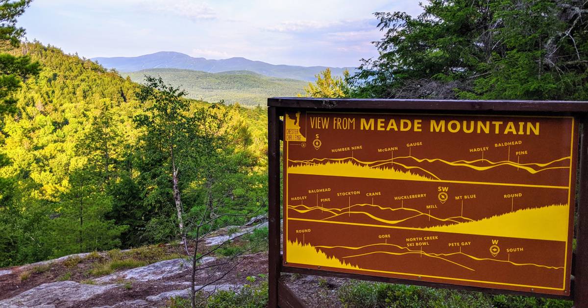
This location is one of the longer options for the Chester Challenge. The trail begins at the Meade Mountain trailhead, and the trail ends with a view of Gore Mountain. Then, there will be a short descent followed by an ascent up Beckman Mountain, which provides a view of Loon Lake. Some of the sections are long and steep.
Distance/Time: 2.1 miles/2.5 hours
Access/Parking: From the center of Chestertown, follow Route 9 west, and then follow Route 9 north as it passes by Loon Lake. Just past the lake, you'll reach Igerna Road. Follow it for .75 mile and you'll see the designated parking area for this trail.
7. Dynamite Hill and Caroline M. Fish Memorial Trails
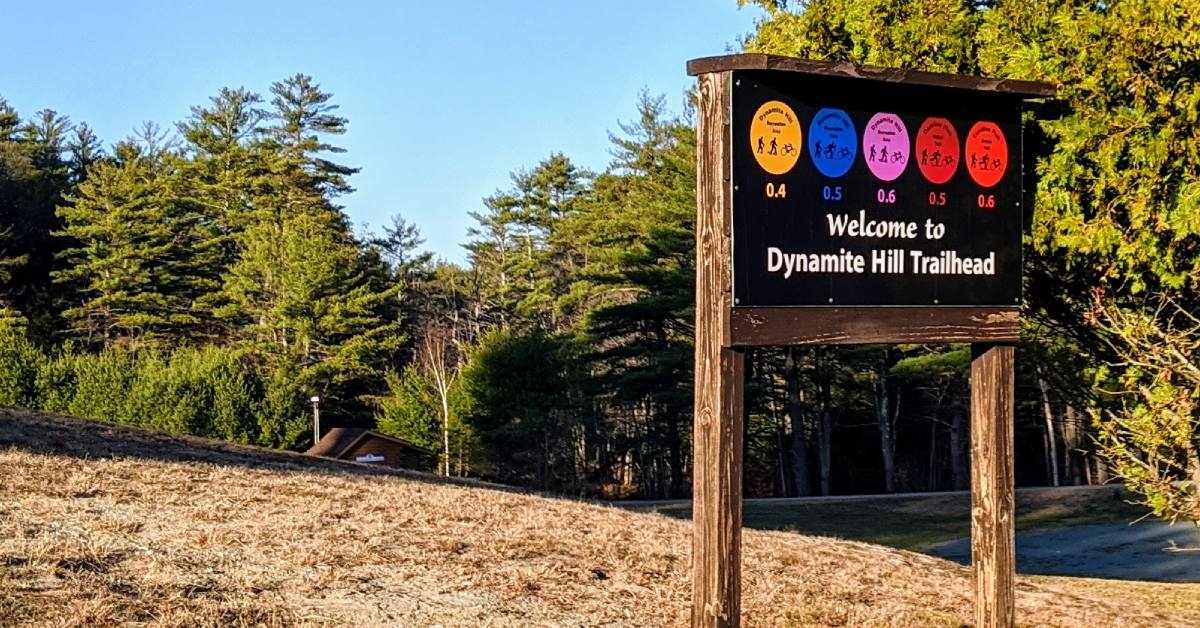
Dynamite Hill is open for many forms of recreation throughout the year. The trail system is 2.6 miles long, and it connects to the Caroline M. Fish Memorial Trails.
Distance/Time: 2.6 miles/1 hour
Access/Parking: One parking area is between Exit 25 and Chestertown, and it will be on Route 8. The second parking area is a short ways up Landon Hill Road, which is north of Chestertown and at the intersection of Route 8 and Main Street.
8. Green Hill and Catamount Mountain
Note: To access these hikes you must pay the Stone Bridge & Caves registration.
From the Stone Bridge and Caves attraction in Pottersville, you can access Green Hill and Catamount Mountain. Green Hill is a moderately steep hike, and Catamount Mountain is a much more challenging hike.
Distance/Time: 1.8 miles or 6.4 miles/1 hour to 4 hours
Access/Parking: These hikes are available at the Stone Bridge and Caves attraction, and they are open as a guided hike in the summer or a self-guided snowshoe hike in the winter. Be sure to check hours and pricing ahead of time.
For more information about the Chester Challenge, call the Town of Chester's town clerk's office at 518.494.5160.
See more on this challenge from the Town of Chester >>
Learn more about what to do in Chestertown »
Sources:
http://www.townofchesterny.org/chester-challenge.htmlhttp://www.saratogian.com/article/ST/20160917/NEWS/160919805